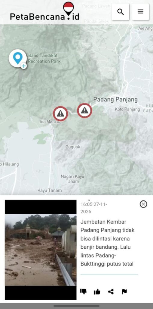
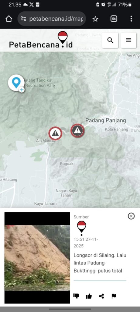
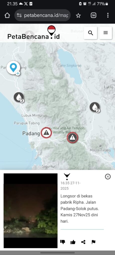
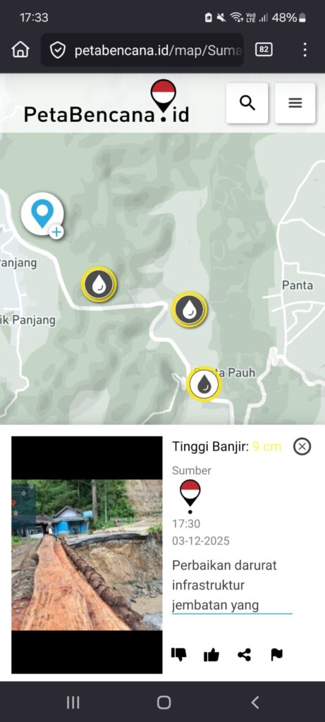
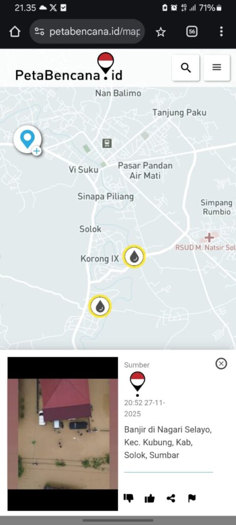
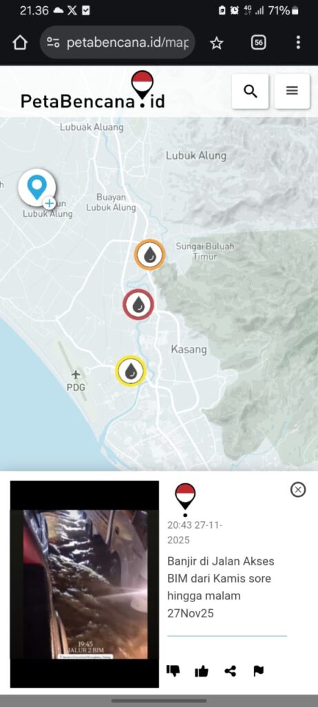
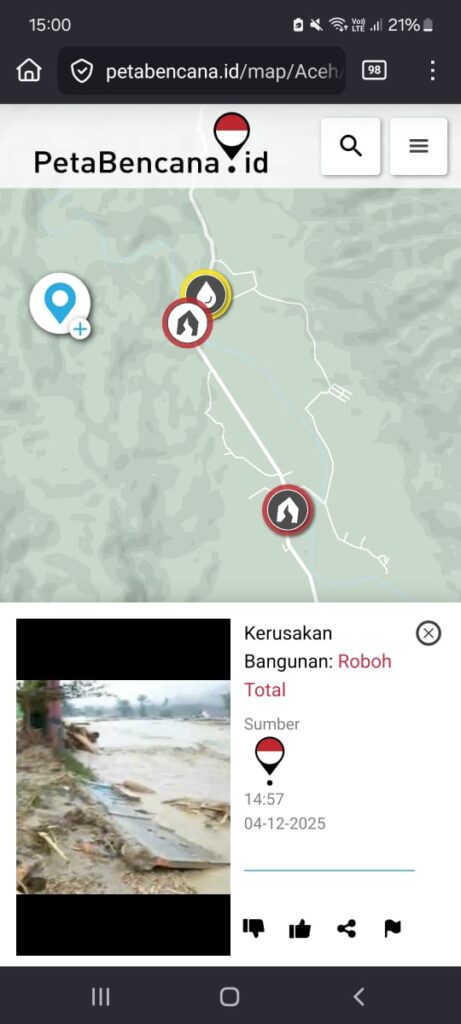
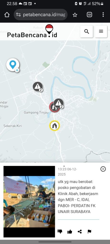
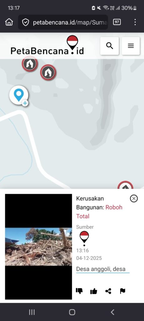
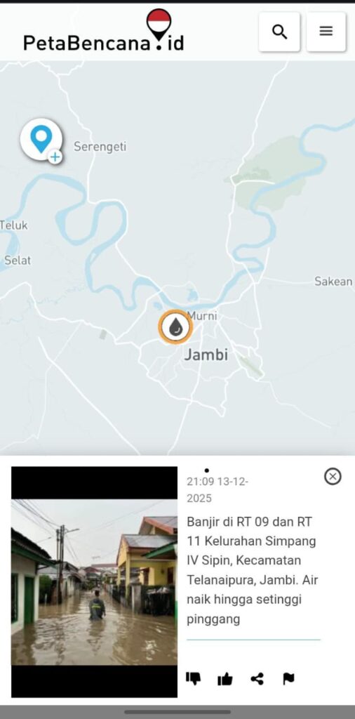
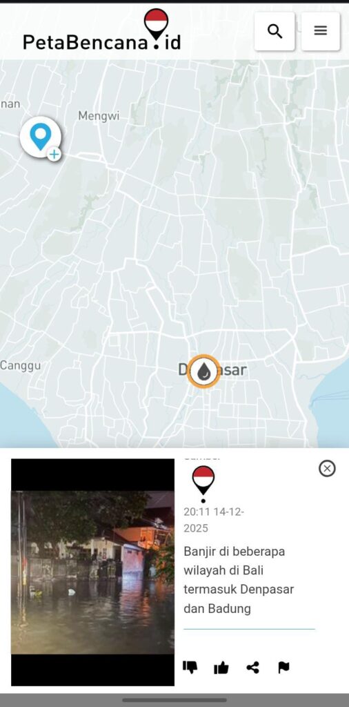
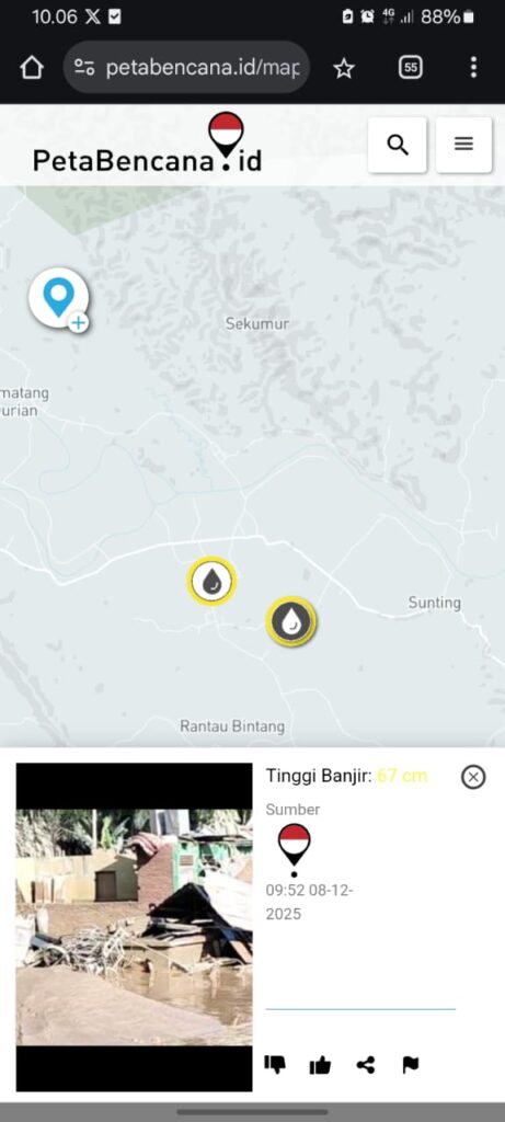
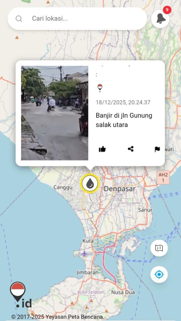
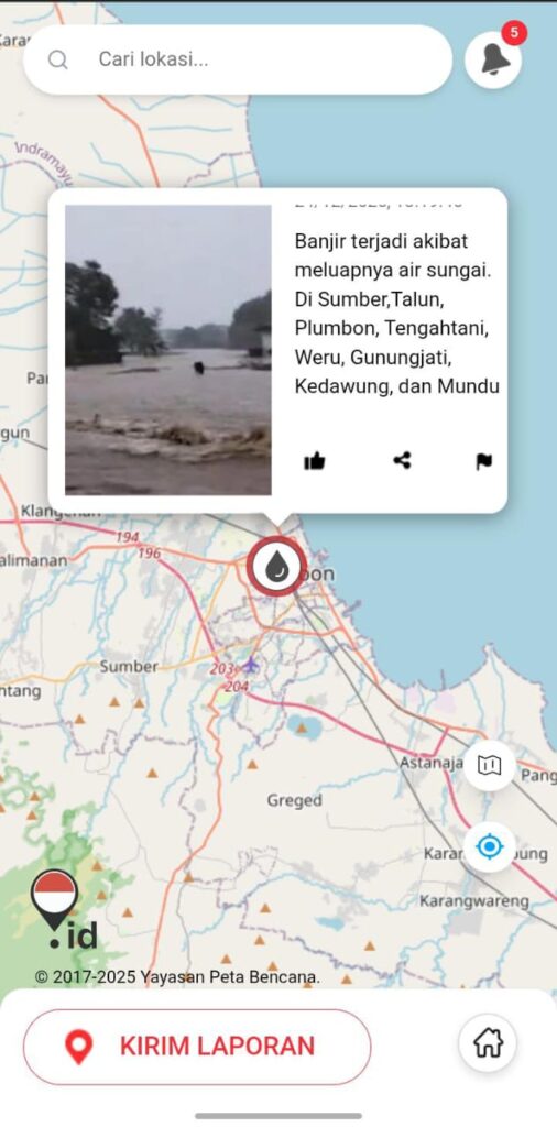
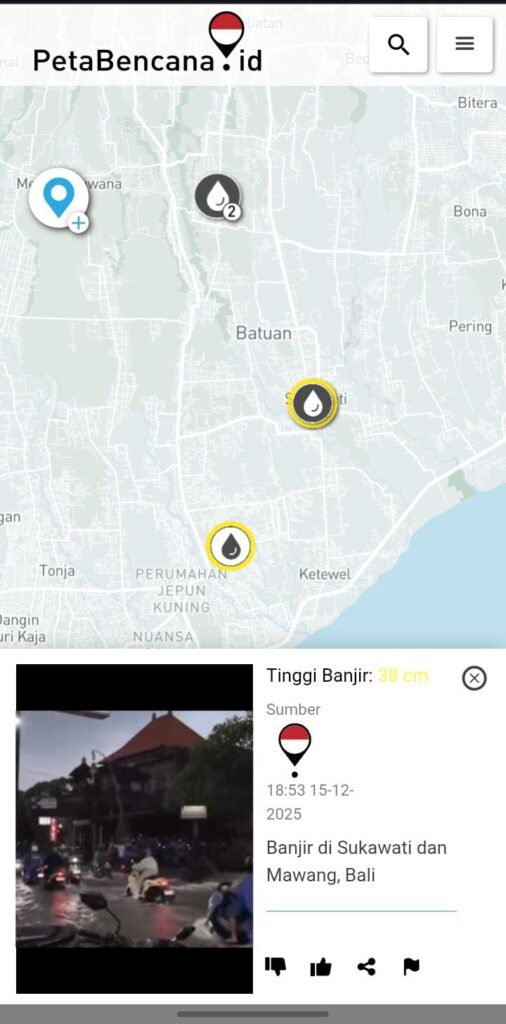
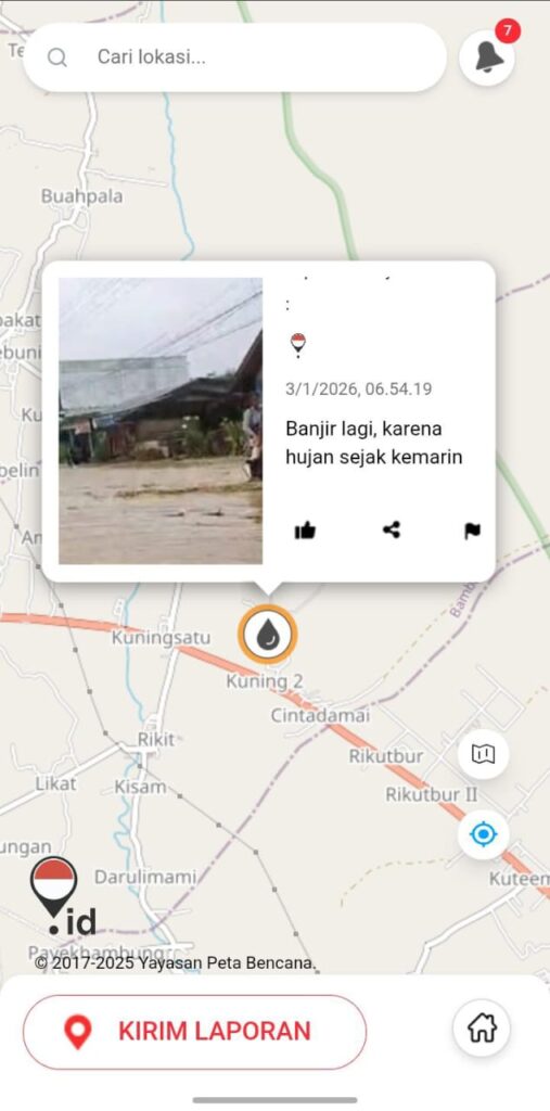
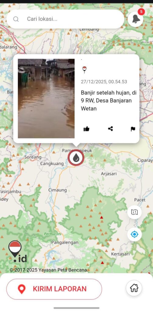
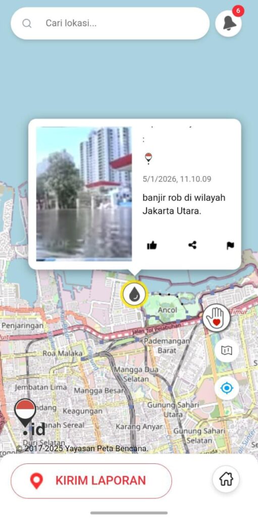
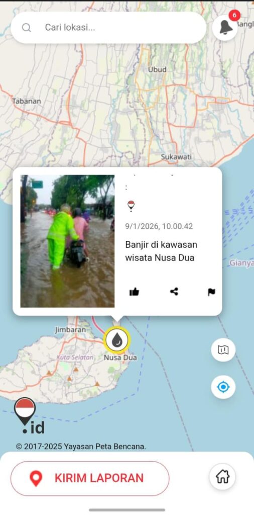
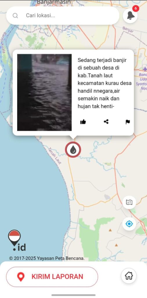
In November 2025, a series of typhoons and cyclones struck cities across Viet Nam, the Philippines, Thailand, and Indonesia. As national governments mobilized response measures, the damage and the death toll, raised urgent questions about preparedness rather than response alone.
For more than a decade, ASEAN has built an elaborate disaster-management architecture, anchored in the ASEAN Agreement on Disaster Management and Emergency Response (AADMER) and reinforced through regular ministerial meetings, coordination mechanisms, and humanitarian assistance and disaster relief exercises.
The events of late 2025 offered a critical moment to assess how these frameworks function in practice. It was in this context that Pusat Studi Asia Tenggara (PSAT) convened a public discussion titled “Rethinking Disaster Management in Southeast Asia.” The conversation focused on a fundamental question: if disaster risks are well known and regional mechanisms are already in place, why do large-scale disasters continue to produce the same outcomes across ASEAN member states?
Environmental activist Puspa Dewy from WALHI situated disasters within a broader political and policy context. Floods, landslides, forest fires, and haze, she argued, are not random natural events but the cumulative outcomes of development choices, particularly deforestation, extractive industries, and large-scale land conversion.
As forests are cleared, peatlands drained, and rivers reshaped to accommodate development, natural hazards are transformed into disasters. The resulting risks and losses are borne disproportionately by communities that derive little benefit from these projects. Framing such events as “natural,” she noted, obscures responsibility and weakens accountability for the decisions that create vulnerability.
From WALHI’s perspective, disaster management cannot be treated as a purely technical or humanitarian issue. It is inseparable from land governance, corporate influence, and the state of democratic space. When communities raise concerns about environmental risk, they are frequently sidelined or intimidated, limiting their ability to participate meaningfully in prevention and oversight. In this context, improving disaster outcomes requires not only better response mechanisms, but stronger policies, enforcement, and protection for civic participation.
From the government’s perspective, Dr. Raditya Jati of BNPB argued that Indonesia already has the core frameworks and long-term roadmaps needed for effective disaster management, but continues to face challenges with implementation due to institutional silos and uneven implementation at the local level. Dr. Jati advocated for a model of sustainable resilience that integrates disaster risk management, climate adaptation, and development planning into a single policy approach, emphasizing that national resilience cannot be achieved without strengthening local capacity, governance, and coordination where hazards directly intersect with communities and infrastructure.
Taking the discussion to the regional level, Venkatachalam Anbumozhi from ERIA reframed disasters as a macroeconomic issue. Southeast Asia, he noted, experiences a disproportionate share of climate-induced disasters, losing an estimated two to three percent of GDP annually as a result. Despite this, governments continue to spend far more on emergency response than on long-term risk reduction. The reason, he suggested, is political economy. Disaster prevention requires long-term investment, while political cycles are short. Prevention rarely produces ribbon-cutting moments or immediate political rewards.
Yet treating disaster resilience as a cost rather than an investment is economically irrational. Without embedding disaster risk reduction into development and financial planning, Southeast Asia’s growth model will remain fragile and self-defeating.
Nashin Mahtani of Yayasan Peta Bencana, argued that ASEAN’s approach to disaster management reflects a deeper hesitation to act collectively. While ASEAN often describes itself as a family, she suggested that resilience is still treated primarily as a national responsibility rather than a shared regional asset.
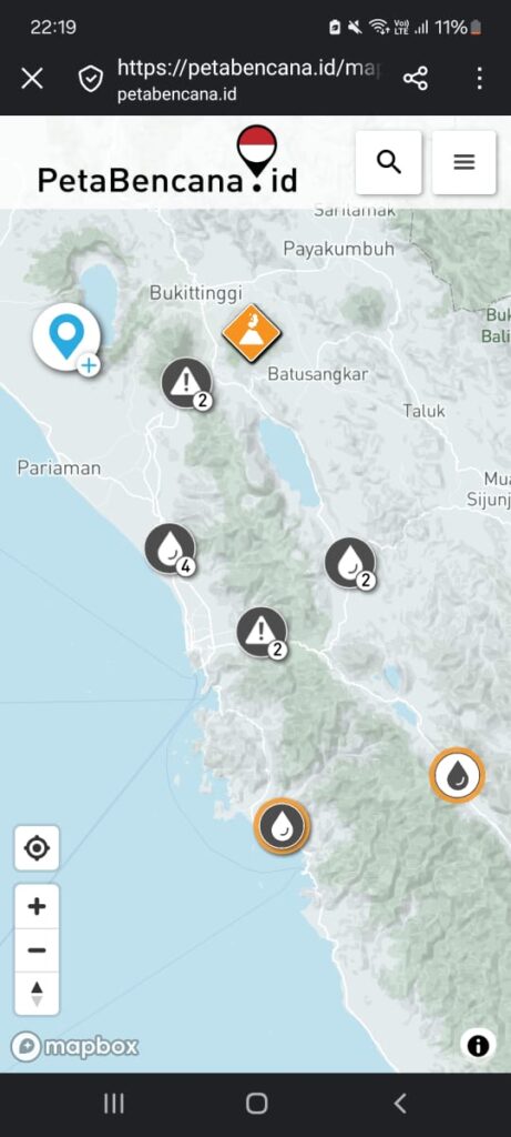
Mahtani urged ASEAN to reconceptualize resilience as a regional public good, something that gains value when shared, scaled, and jointly maintained. This shift, she argued, should extend beyond emergency response to include preparedness, mitigation, and system-building. Drawing on the work with Yayasan Peta Bencana she pointed to concrete examples where shared infrastructure and interoperable data enabled successful scaling across borders. Yet across ASEAN, she noted, fragmentation remains the norm: countries repeatedly build parallel systems rather than multiplying impact through collaboration, a pattern seen clearly during the COVID-19 pandemic and replicated in disaster management platforms. If ASEAN truly understands itself as a family, she concluded, solidarity cannot begin only when one member is overwhelmed, it must also mean working collectively to ensure fewer members reach that breaking point in the first place.
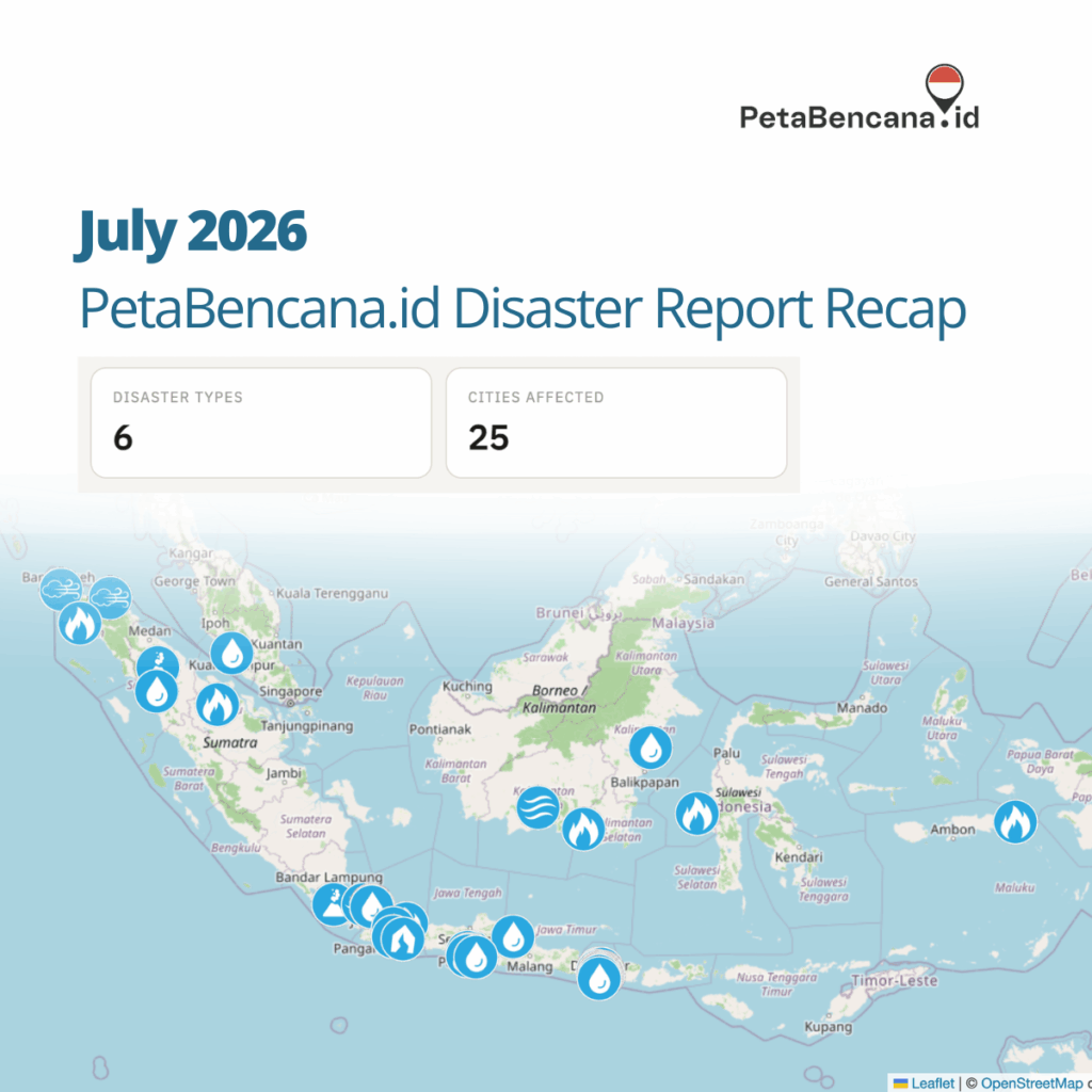
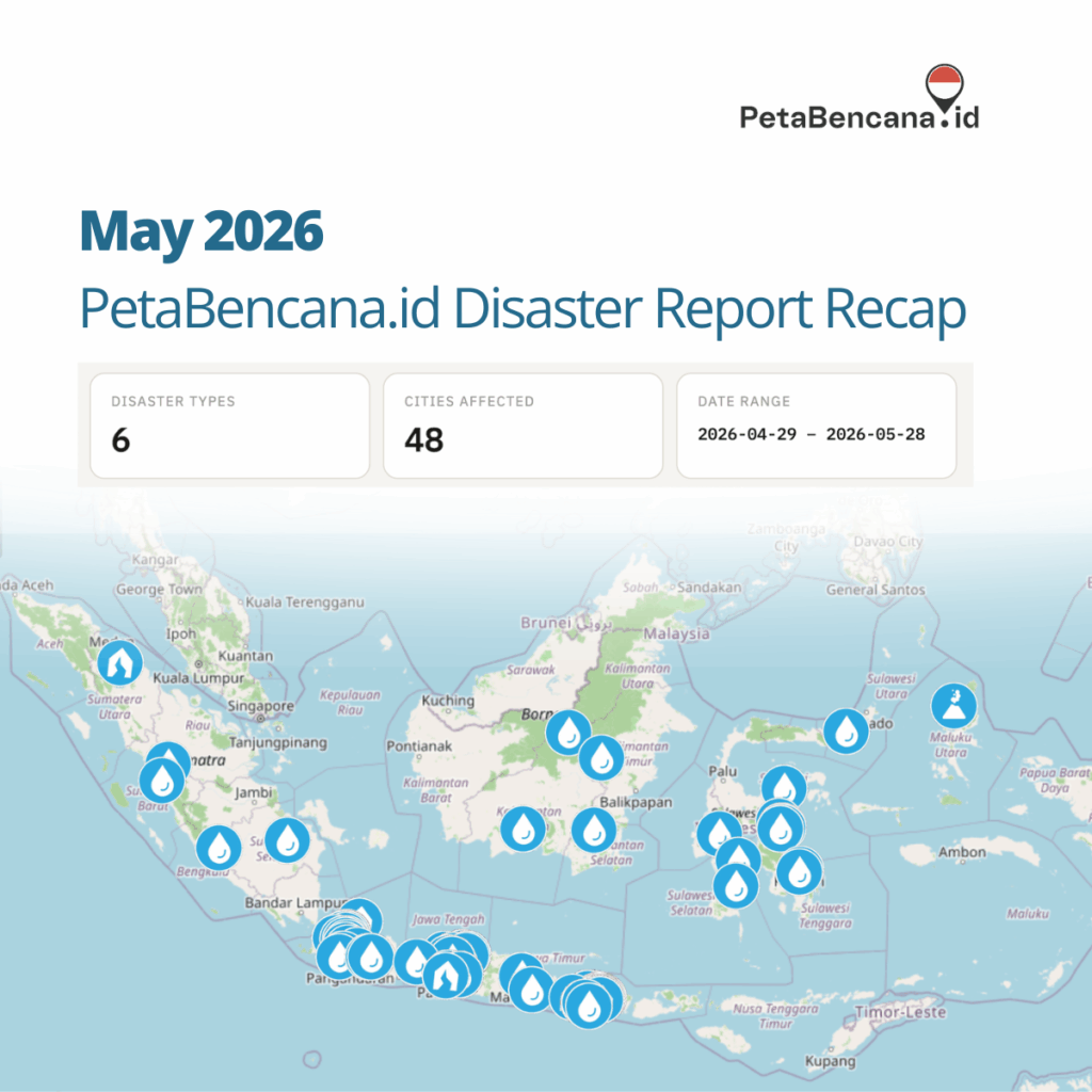
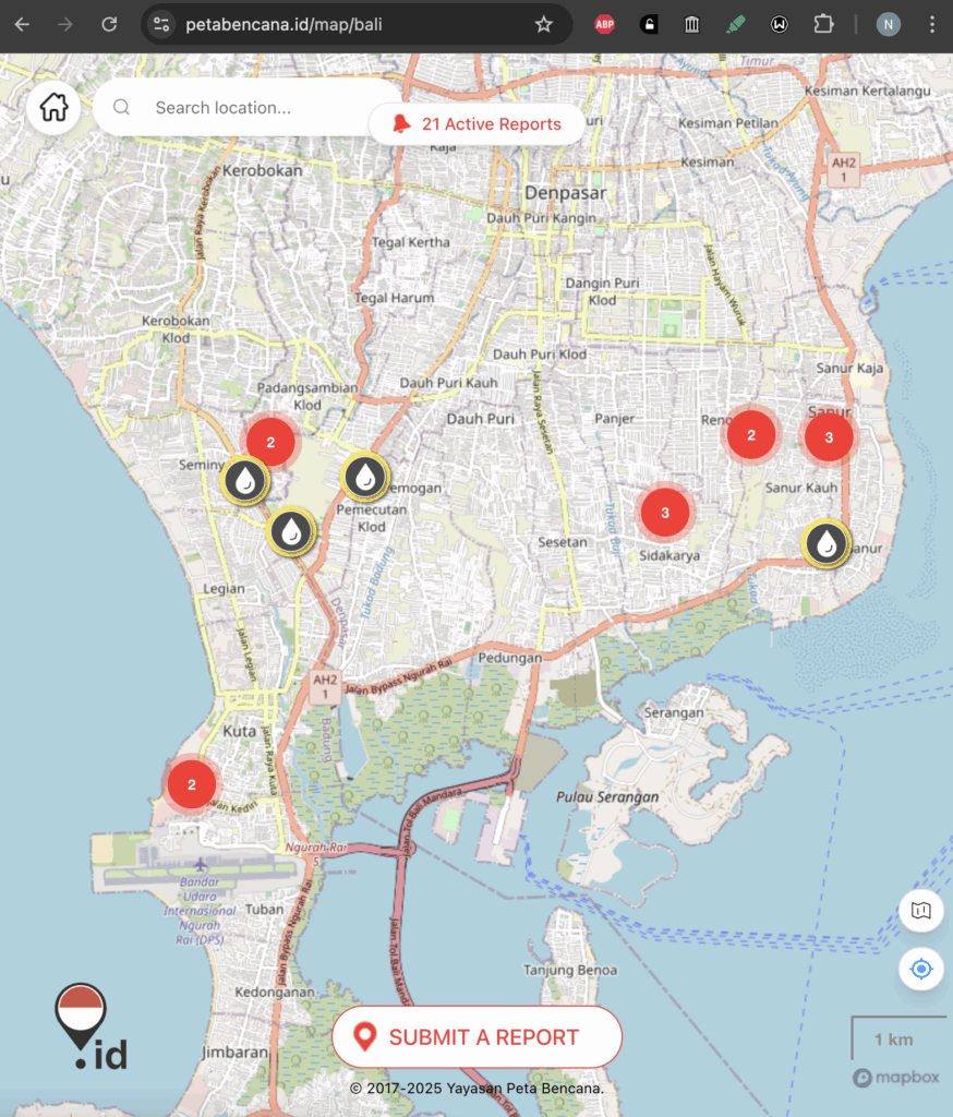
For PetaBencana, this is not an abstract proposition. The tools, practices, and partnerships needed to treat resilience as a regional public good already exist. Community-generated data, open infrastructure, and interoperable systems have proven their value not only in accelerating response, but in strengthening trust between institutions and the people they serve. The question facing ASEAN is no longer whether collaboration is possible, but whether it is willing to scale what already works.
As disasters grow in frequency and complexity, no single country can manage risk in isolation. Resilience that is built collectively is stronger, faster, and more equitable than resilience built alone. If ASEAN is serious about responding “as one,” that commitment must extend beyond emergency moments to the quieter, harder work of preparedness, shared systems, and mutual trust.
The PSAT discussion made clear that improving disaster outcomes will require more than faster response or better coordination during emergencies. It demands political choices that prioritize prevention, integrate disaster risk into development planning, and enable meaningful participation from communities most affected by environmental change. At the regional level, it also requires ASEAN to move beyond parallel national efforts toward genuinely shared systems and approaches.